IdeasFeature
Learning to read maps again
Phone navigation is a marvel, but it keeps us at the center of every map. A month with a paper street map, a cheap compass and a pencil makes the case for knowing a place, not just a route.
In this story · 5 sections
A few months ago I realized I could not draw a map of the neighborhood I have lived in for six years. I tried, on the back of an envelope, with a friend watching. I got my own street right, and the street with the good bakery, and the route to the station. Beyond that, the page dissolved into a scatter of islands — the park, the pharmacy, a bar I like — floating in white space with no idea how they related to one another. I knew how to get to each of them. I just didn’t know where they were.
That distinction, between knowing the way and knowing the place, has been bothering me ever since.
The blue dot
Phone navigation is one of the genuinely great inventions of my lifetime. I want to say that clearly, because what follows could be mistaken for nostalgia, and I have little patience for nostalgia. I have used my phone to find a pharmacy at midnight in a country where I didn’t speak the language. I have used it to dodge a closed road, catch a last train and find a friend in a crowd. It is extraordinary, and I am not giving it up.
But it does something particular to the way we hold space in our heads. A phone map is centered on you. The blue dot sits in the middle and the world rearranges itself around it. Turn left, and the map turns too, so that ahead is always up. You are the fixed point. That is efficient. It is also, if you think about it, a slightly odd way to relate to a place: as a stream of instructions flowing toward you one turn at a time, rather than as a thing that exists whether or not you happen to be standing in it.
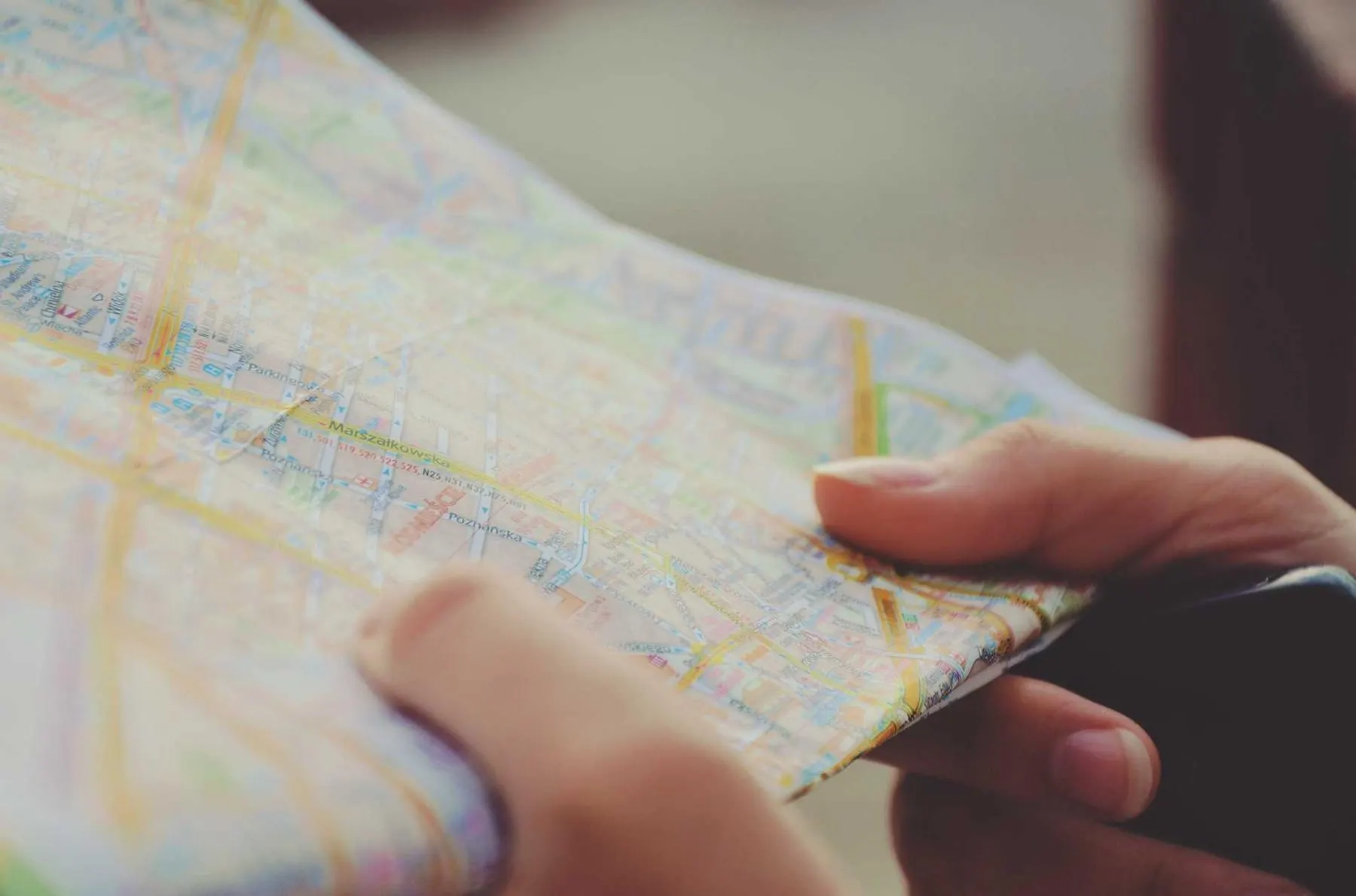
A paper map does the opposite. North is up and stays up. You are nowhere on it until you work out where you are, which means the first thing a paper map asks of you is a small act of attention. Look around. Find the church, the river, the bend in the road, and line the page up with the world. Only then can you begin. It is slower. It is also, I have come to think, the whole point.
A modest experiment
So I ran an experiment, unscientific and mainly for my own benefit. For one month I would navigate my own city with a paper map whenever I wasn’t in a hurry. The phone stayed in my pocket for emergencies, timetables and the occasional photograph of a cat. I bought a folding street map from a secondhand shop, slightly out of date, which turned out to be a feature, and a cheap compass I felt faintly ridiculous carrying.
The rules were simple. Before leaving, I would look at the map at home and plan roughly, not precisely. On the street I could check it as often as I liked, but only by stopping, unfolding it and turning it to face the way I was facing. No walking and reading at once. That, I quickly discovered, was the hard part.
The first week was humbling. I got lost walking to a café I had visited a dozen times, because the phone had always sent me down the main road and the map made the back streets look shorter. They were shorter. They were also full of turns I hadn’t anticipated, and at one point I emerged from an alley facing entirely the wrong way, holding the map upside down in a manner I would prefer my friends never hear about.
But something else happened that week. Every time I got lost, I had to stop and look. Looking, it turns out, is how a place gets into you. I noticed that the hill I always felt in my legs on the way home was the same hill that rose behind the market, which meant the market sat higher than my apartment, which explained why it was always windy there. I found a lane that joined two streets I had always considered far apart. Small facts, individually useless. Together, they began to make a shape.
Looking, it turns out, is how a place gets into you.
In praise of getting a little lost
There is a kind of lost that is frightening, and I don’t want to romanticize it. Being lost in bad weather, or at night somewhere unsafe, or with a tired child who needs to get home, is not an adventure. That is what phones are for.
But there is a milder kind of lost that we have quietly engineered out of our lives, and I think it is worth defending. It is the lost of knowing roughly where you are, but not exactly. The lost of taking a turn because it looks interesting and trusting yourself to work your way back. It costs ten or fifteen minutes. In return, you get to experience a place as a place, rather than as a route.
The difference matters more than it sounds. A route is a sequence: left at the bakery, right at the lights. A territory is a picture: the bakery is south of the park, the lights are near the river. Routes are brittle. Close one road and the whole sequence breaks. A picture survives disruption, because you can reason your way around the gap. The phone is superb at routes. It quietly leaves the territory to you, and if you never practice holding it, the territory never forms.
Drawing your own
By the third week I had started doing something I did not expect to enjoy: drawing my own maps. Not good ones. A sheet of paper, a pencil and a walk. I would wander for an hour, come home and try to draw where I had been from memory. Then I’d lay it beside the printed map and see where my mental picture had bent the world out of shape.
The errors were the interesting part. I consistently drew streets I liked longer than they were and streets I found dull shorter. I placed the river much too close to my apartment, presumably because I wished it were. I left out an entire block of offices I walk past every day, as if my mind had decided it wasn’t worth the graphite. A hand-drawn map, I realized, is less a record of a place than a portrait of your attention: what you lingered over and what you rushed past.
Soon I was looking forward to the drawings more than the walks. Then I started giving them away. A friend visiting from out of town got a sketch with the three cafés I trust, the bench with the best view and a dotted line labeled “nice way back if it’s not raining.” She used it all weekend and then kept it, folded inside a notebook. Nobody has ever kept a set of phone directions.
What changed
The month ended a while ago, and I won’t pretend I’ve abandoned the blue dot. I still use it when I’m late, when I’m somewhere new and the stakes are real, or when it’s raining hard enough that unfolding paper becomes a comedy routine. But the habit has shifted. Before I open the app, I try to answer the question myself: which way is north, roughly where am I going, what will I pass on the way. Often I can. When I can’t, I look at the screen the way I would look at paper — zoomed out, north up, just long enough to fix the shape — and then I put it away.
Last week I tried the envelope test again. It took twenty minutes and a second envelope. The islands had joined up. The park connected to the station by a road I could name; the market sat on its hill above my street; the river, I am sorry to report, was exactly as far away as it has always been. It wasn’t a good map. But it was mine, and it was the first time in six years I could see the whole place at once.